Canadian
Research
Alberta
British
Columbia
Manitoba
New Brunswick
Newfoundland
Northern
Territories
Nova Scotia
Nunavut
Ontario
Prince Edward
Island
Quebec
Saskatchewan
Yukon
Canadian Indian
Tribes
Chronicles of
Canada
Free Genealogy Forms
Family Tree
Chart
Research
Calendar
Research Extract
Free Census
Forms
Correspondence Record
Family Group Chart
Source
Summary New Genealogy Data
Family Tree Search
Biographies
Genealogy Books For Sale
Indian Mythology
US Genealogy
Other Websites
British Isles Genealogy
Australian Genealogy
  
FREE Web Site Hosting at
Canadian Genealogy
|
Canadian Pictures
These images are taken
from Wills's Cigarettes of England. They were issued by the
Imperial Tobacco Co of Great Britain and Ireland. 1914
 |
 |
|
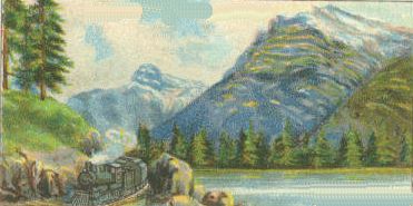
Entrance
to Rocky Mountains
The Canadian Pacific Railway enters the Rockies at the
Gap, where there is a station just within the mountains.
Here the railroad has reached an altitude of 4,539 feet,
and the great snow-clad mountain peaks appear very near
on either hand. Individual peaks in other lands may
exceed the Rockies in height, but no mountain range in
the world covers so vast an extent of country, or is
planted on such an immense scale. |
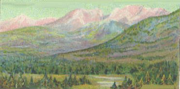
The Rockies
The great mountain range of the Rockies extends along
the west of the North American continent, from Mexico to
Alaska. The construction of the Great Transcontinental
railways, the Canadian Pacific, and the Grand Trunk
Pacific, has done much to render the Rockies easy of
access to the mountaineer and the hunter. Rocky Mountain
Park and Yoho Park, which contain some 4,5000 sq. miles
of magnificent scenery, are preserved by the Dominion
Government. |
 |
 |
|
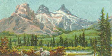
The Three
Sisters
The traveler who crosses the Canadian Prairie by the
Canadian Pacific Railway cannot fail to be greatly
impressed by this first sight of the Rockies. The
prairie rises in a series of gentle slopes to meet the
hills at the foot of the mountains, which stretch away
into the distance, a majestic panorama of snow-capped
peaks. Wind Mountain and the beautiful "Three Sisters,"
tower above the landscape to the left of the railroad. |
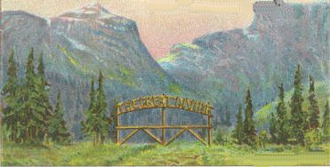
The Great
Divide
The interesting spot is passed by the traveler on the
Canadian Pacific near the Station of Stephen. The
station, together with Mount Stephen, one of the highest
peaks in the Rockies, is signed after Sir G. Stephen,
(afterwards Lord Mount Stephen), the first president of
the C.P.R. The wooden arch bearing the words The Great
Divide marks the boundary line between Alberta and
British Columbia. |
 |
 |
|
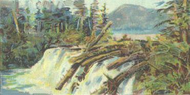
Shawatlan's Lake and
Falls
This is one of the most picturesque lakes in Columbia.
Shawatlan's Lake lies near Prince Rupert, the Pacific
terminus of the Grand Trunk Pacific Railway. This town
provides an illustration of the rapid growth of
townships in the West. In 1905 the Grand Trunk Co.
obtained a grant of 10,000 acres of land. The following
year the site was surveyed, and building commenced. In
1913 Prince Rupert has a pop. of 6,000. |
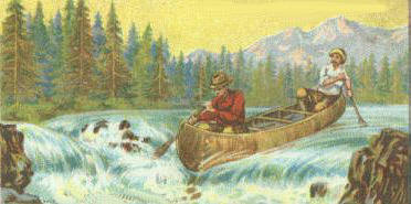
Shooting the
Rapids
The light birch-bark canoe of the Indian is very
extensively used in Canada. The Canadians travel for
hundreds of miles along their great waterways steering
their fragile canoes with wonderful skill. Dangerous
rapids are negotiated with dexterous strokes of the
paddle, and the light canoe is guided through the
treacherous oddies at the foot of the fall to the smooth
waters beyond. |
Previous |
Index |
Next
Canada in Pictures |